
Wild and Scenic Rivers is a citizen science project run by Adventure Scientists in partnership with the U.S. Forest Service, Bureau of Land Management, and National Park Service.
Citizen scientist volunteers get special training and then go out into remote wilderness areas marked on a strategic map to collect data about the waterways. This data provides insight into the health of the ecosystems and the quality of these waterways. The agencies responsible for management of these areas use the data to “inform their management decisions to comply with the Clean Water Act and supplement existing data to prioritize future assessments” (Wild and Scenic Rivers).
As a volunteer citizen scientist with this project, I was trained to collect three different types of data:
- Field probes with in-stream sensors to measure water quality data such as pH, temperature, dissolved oxygen, dissolved solids, salinity, and conductivity.
- Habitat assessments measure parameters to assess river health (e.g. canopy cover, land use type, vegetation type).
- Invasive species assessments identify the location and extent of invasive species establishment (Idaho, Oregon, and Washington only).
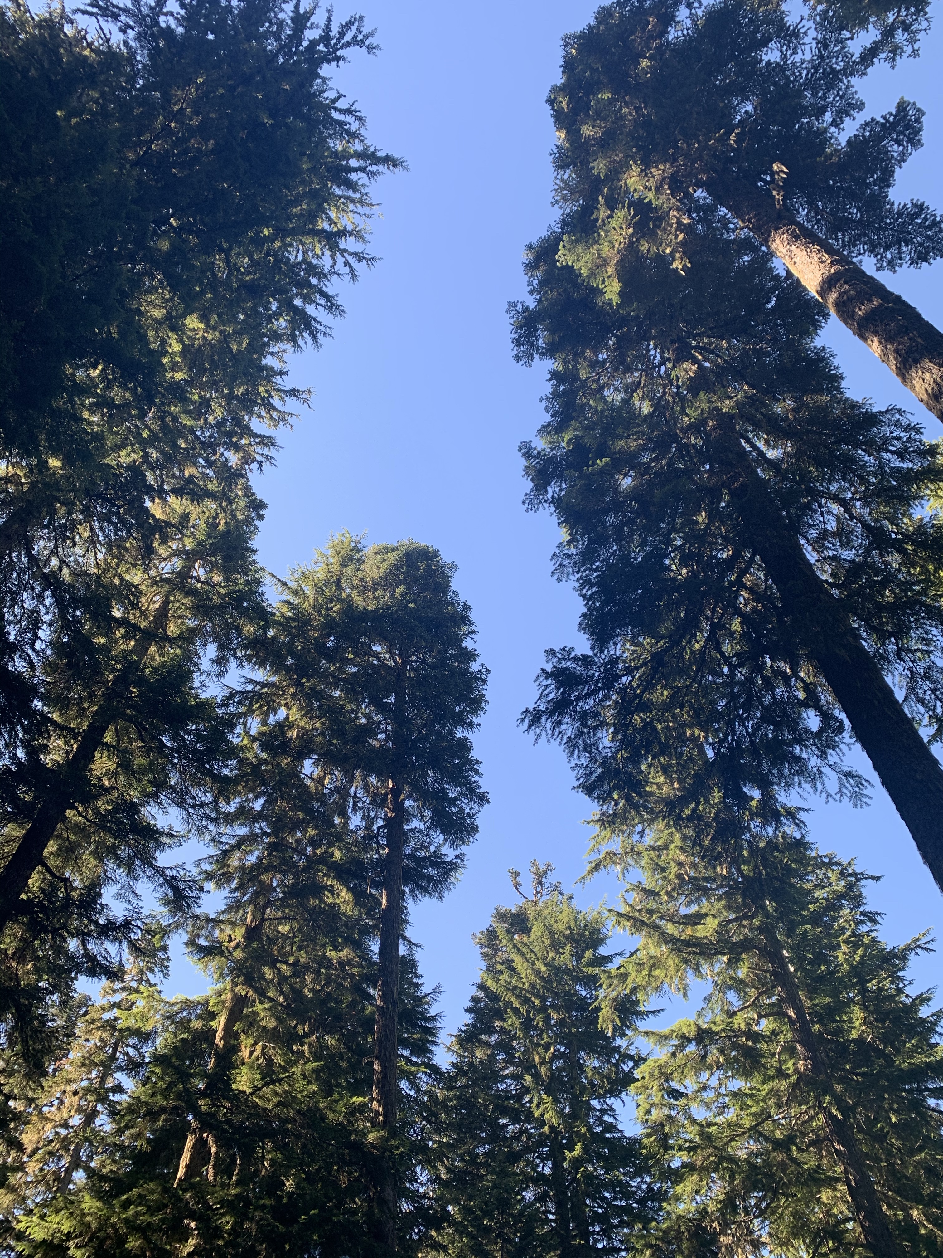
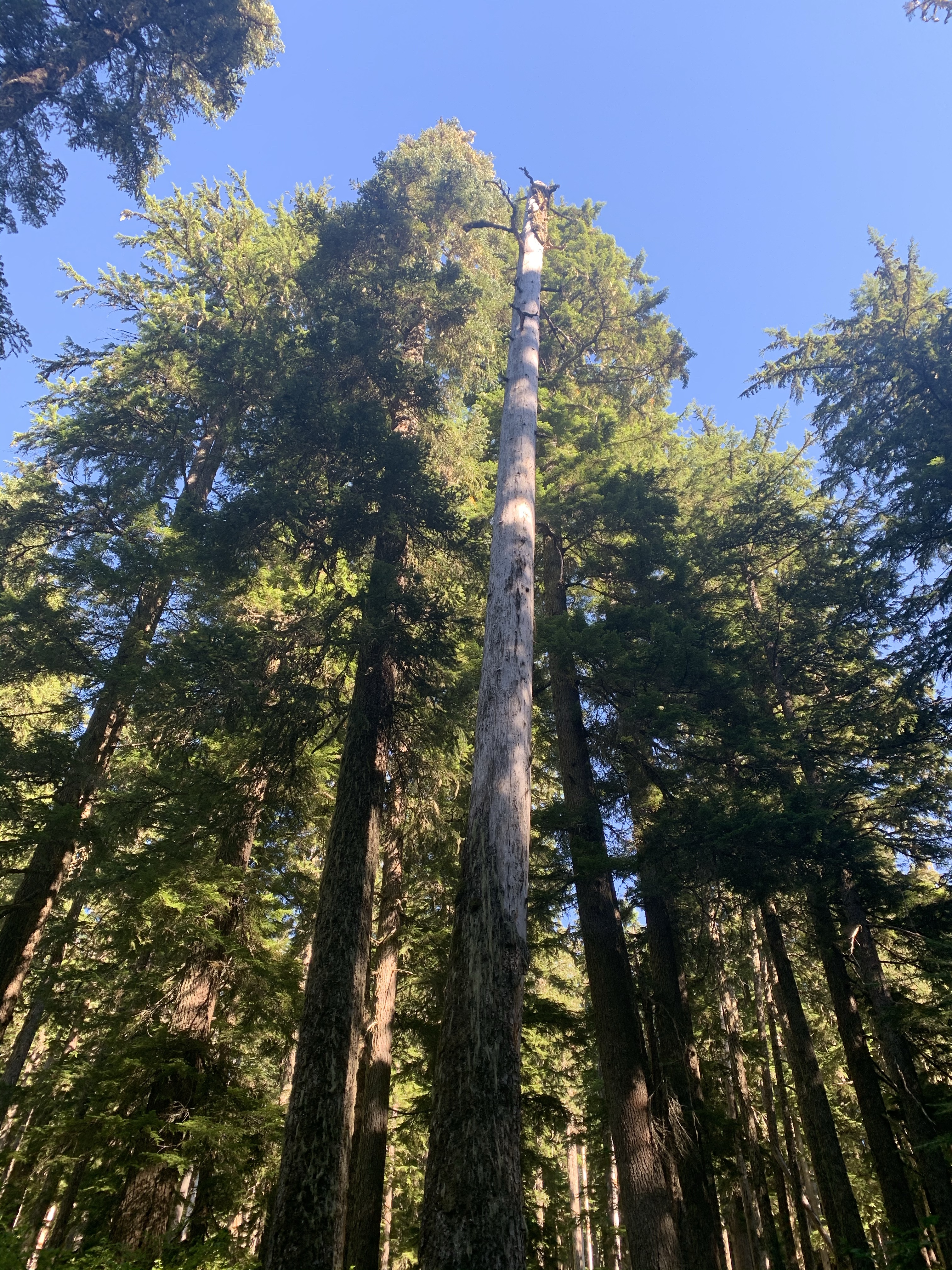
I was assigned the South Fork Roaring River in the Roaring River Wilderness area. The South Fork Roaring River is actually just a tiny branch that feeds in to the Roaring River and is situated southeast of Eagle Creek between the Clackamas river and the Salmon river. After completing my training and receiving my data collection tools in the mail, I made plans to drive out to the mountains to Frazier Turnaround Trailhead which is about 1.5 miles from where the river intersects the Frazier turnaround trail.

Little did I realize at the time what an adventure I was embarking on! On my first attempt, I made it all but 5 miles to the trailhead. The remaining 5 miles was unfinished road – barely a deer track really. My poor little Honda Fit just wasn’t up to that rough a road. I considered parking and hiking the 12 miles round trip but I only had time and supplies for a 3 mile hike that day. I decided to return with better supplies and a truck the next day.
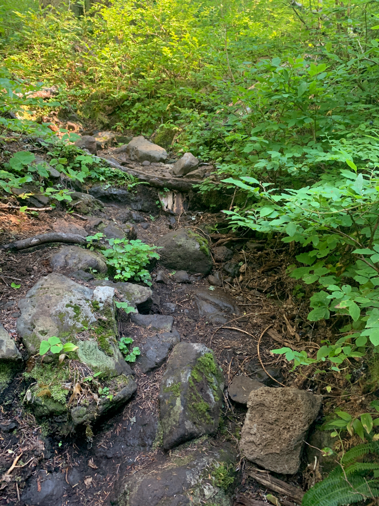
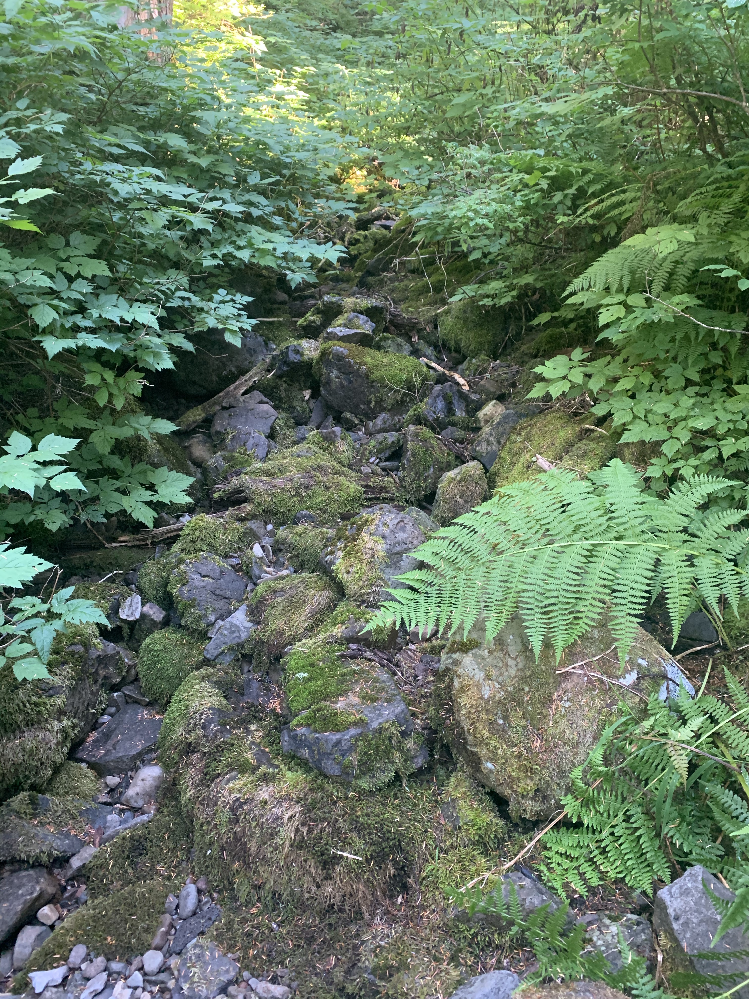
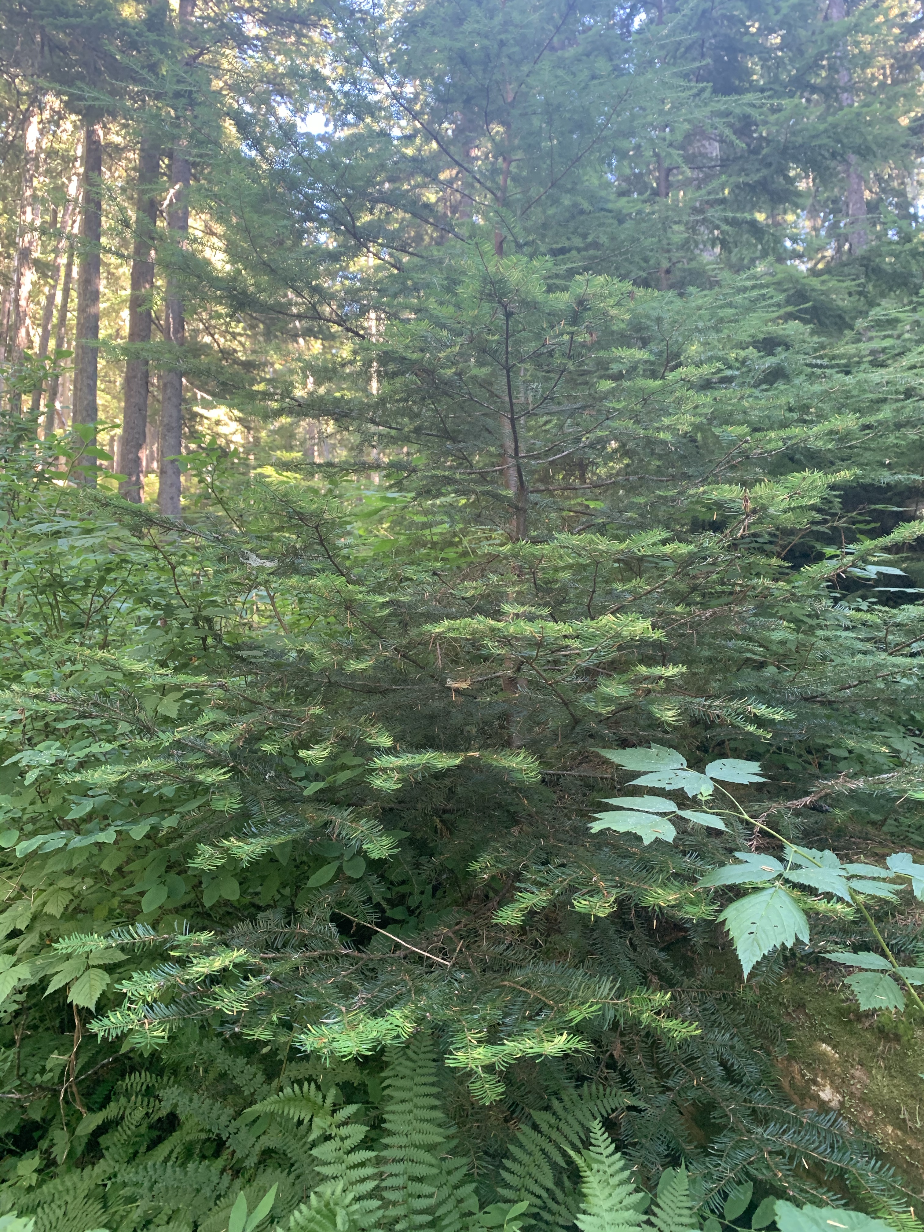
After a nerve-wracking drive hanging off the side of a mountain in a truck, I made it to the trail head, hiked in, and found …. a dry riverbed… really more of a tiny stream.
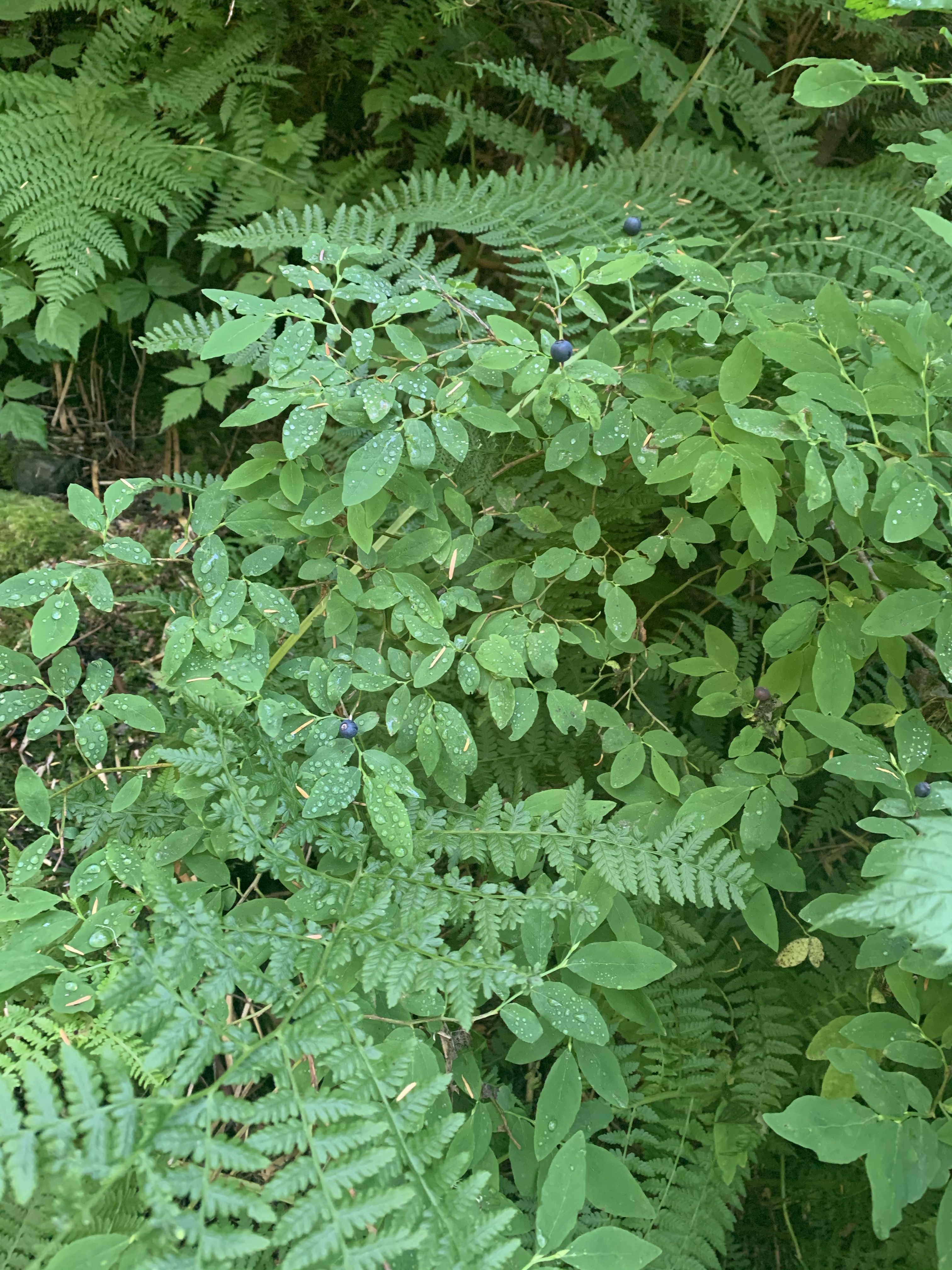
The rocks were damp and there was clear evidence of a stream, but it was the first of September – well into the driest part of the year.
It’s normal for small streams to run dry around this time of year so I wasn’t worried… just disappointed. I was really looking forward to data collection.

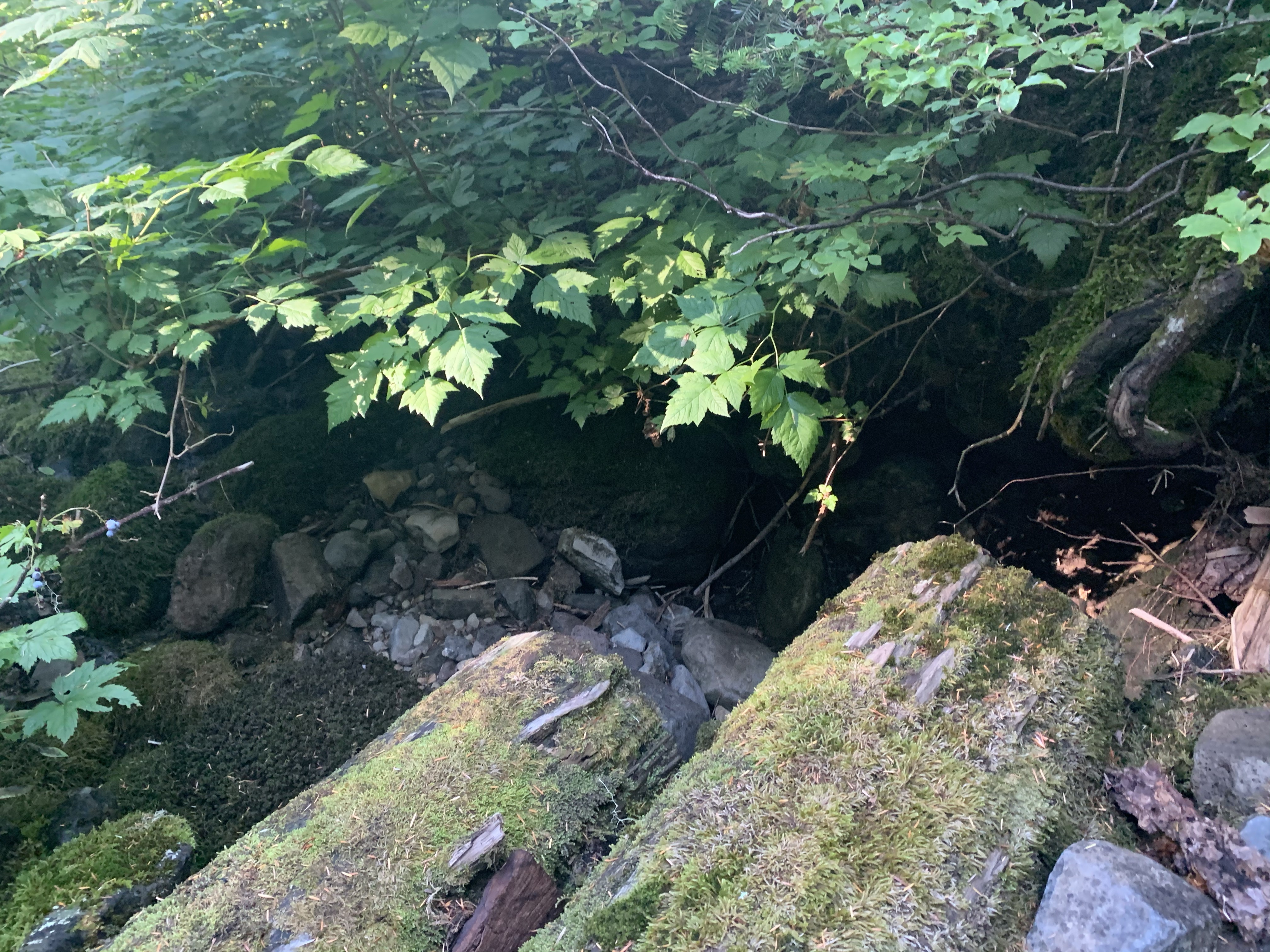
Looking southwest towards the valley the south fork runs through, I could see a marshy pond or some sort of small body of water in the distance.
I considered trying to get down there to collect water samples but the rest of the river flowed through a steep ravine that would have required rappelling equipment and a whole support crew.
Needless to say, the photo was all the data I could collect on that distant glimmer of water.

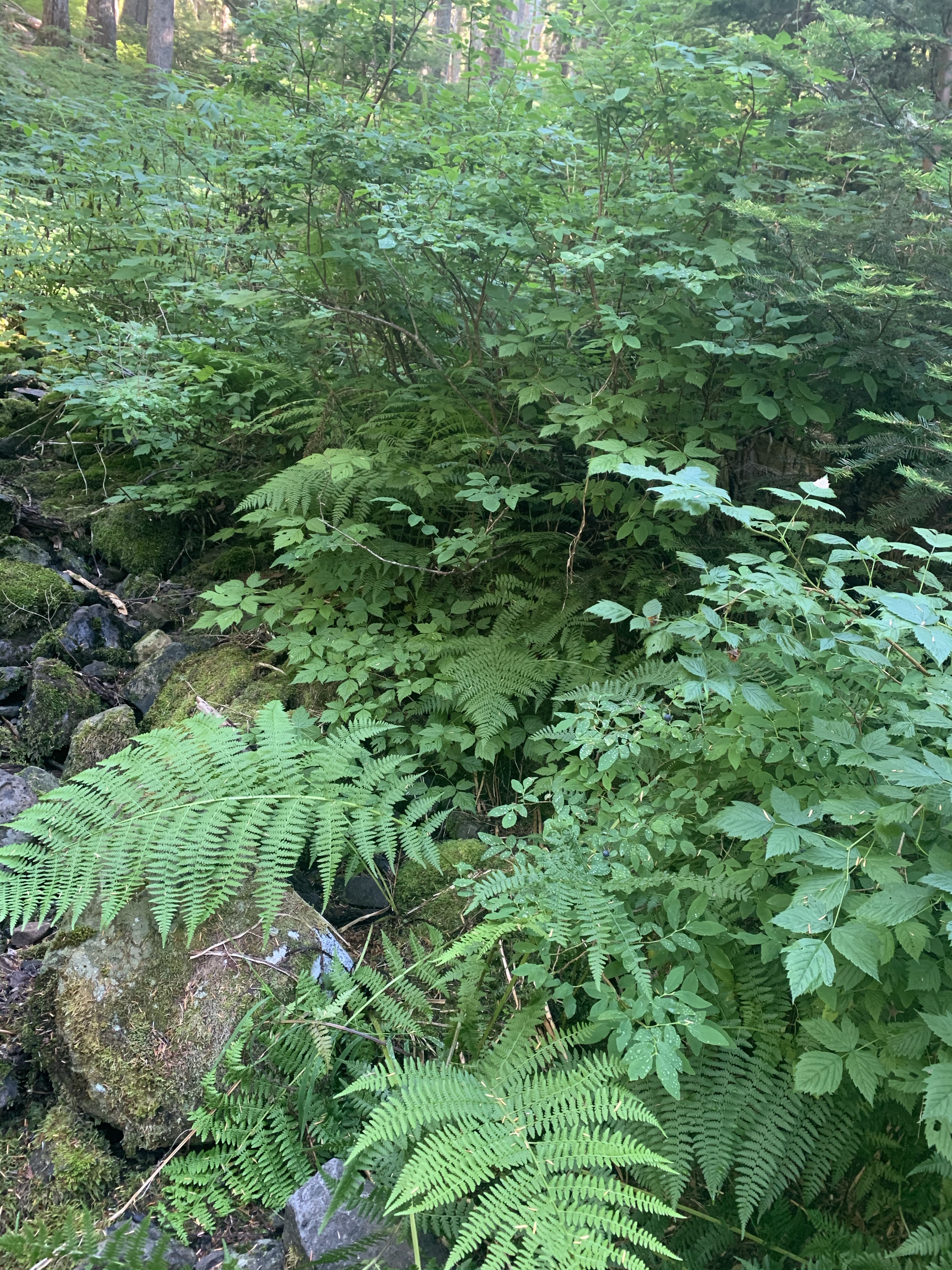
But I was not going to be totally deterred. I couldn’t collect water quality data or do the invasive species assessment – all the invasive species I learned about were water dwellers. – but I could still do the habitat assessment.
I opened my data collection app and took pictures, made notes, logged anything and everything I could log, and then decided to pack it in for this trip.
An important part of the data collection process is returning to the same site for two or three rounds of data collection. Since I was already planning to return, I could wait until the fall rains began and try again once the river was running again.


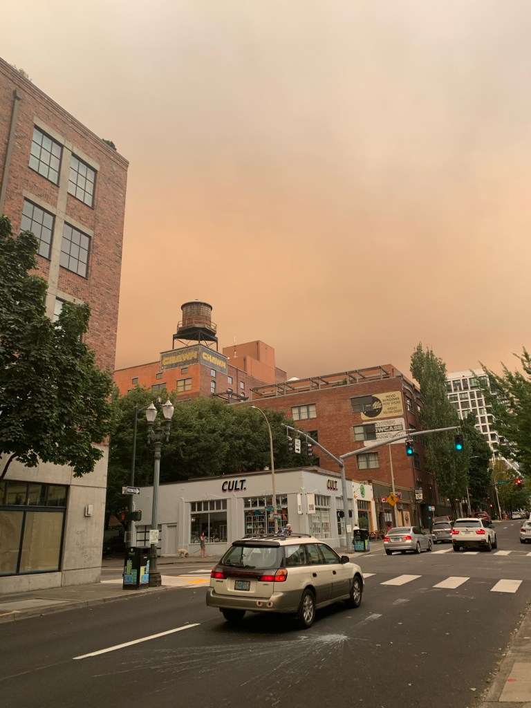
Just eight days after that trip out to the South Fork Roaring River, one of the worst Forest Fires in the ten years I have lived in Portland broke out. I remember walking into a store on a perfectly normal afternoon and walking back out again an hour or two later to this:
It took several more weeks for the fires to settle down and enough rain to fall that I though it might be worth trying to get back out to the Roaring River Wilderness to check on my little stream. I pulled up the Forest Ranger’s fire closures to figure out what route to take. It was then that I realized the edge of the fire had run right up to where I had tried to collect data.
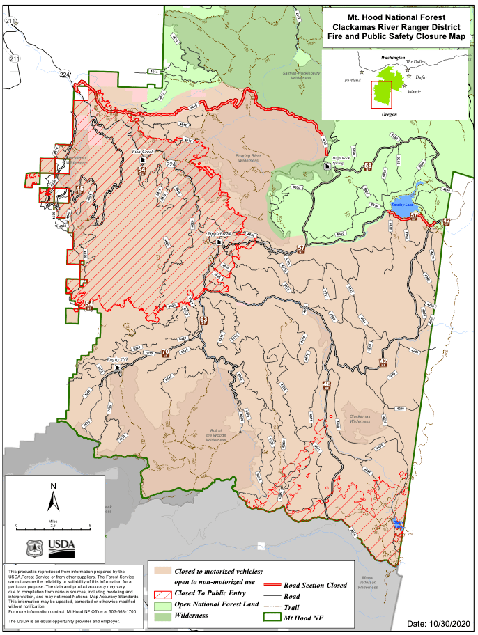

The yellow arrow points to where I would be trying to go. The main road I used before was closed so I found a more circuitous – but otherwise still open – route to drive there.
The area in pink is closed to motorized vehicles so I would have to hike slightly further but it still seemed do-able.
Sometime in mid November, I made my third (and final) attempt to get to the South Fork Roaring River… by then, snow was falling and I couldn’t get within 30 miles of the trailhead without skis or a snow-mobile. I finally had to accept that data would not get collected from the South Fork Roaring river that year.
Hopefully I or someone else will able to make it out there next year.
